A suite of features for land conservation
One centralized tool for your team with workflows and features designed for your conservation day-to-day.


All your work in one place
The days of maintaining a ton of spreadsheets and apps are over!
Landscape uses smart workflows that organize your work as you go and makes searching, summarizing, and reporting easy.
Manage projects
Track tasks, budgets, and funding. Link projects to properties to manage the work you do to protect and steward land.
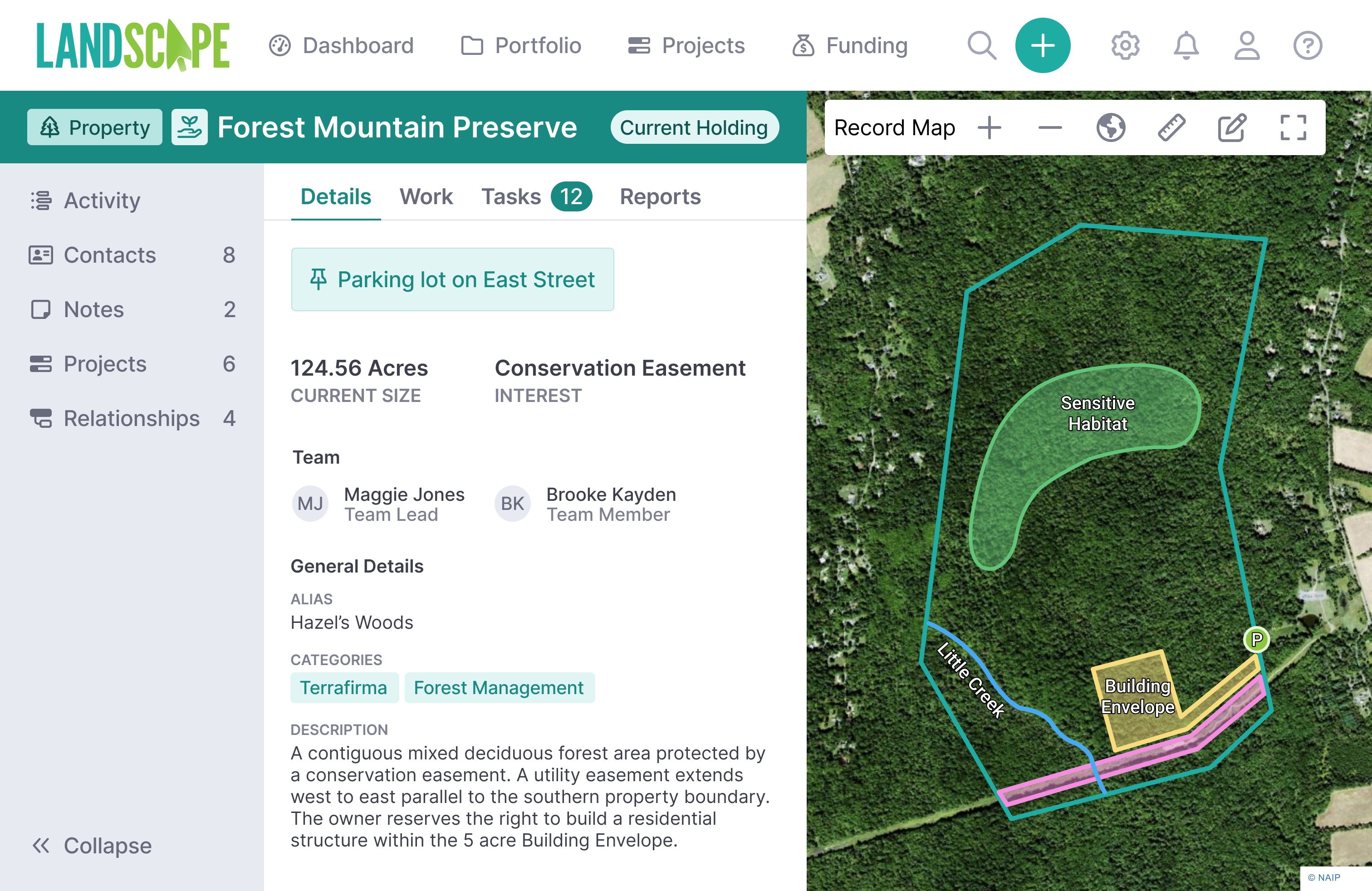
Organize properties
Connect properties to make relationships easy to understand, from the subdivided easement to the preserve acquired in pieces.
Collect data
Collect more than 20 types of data including baselines, site visits, exercised rights, species observations, and more.
Expand your data
Add communications, documents, time tracking, expenses, funding disbursals, notes, and custom forms to your data.
Monitor properties
Set reminders, collect data with mobile app, generate reports, track important info, and document follow up actions.
Work offline
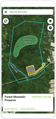
No cell service required. Navigate in the field, take photos, track your route, draw map data, and answer form questions.
Generate reports
Design custom templates with your logo, fonts, and layout. Generate reports from your data in just a few clicks.
Contact management
Associate people with properties. Use tags to show contact relationships with the land and document communications.
Organize documents
Access documents from anywhere with the web and mobile app. Organize data and attachments by property.
Summarize data
Customize and share dashboards, tables, maps, and timelines to display your data in helpful ways. Export data in multiple formats.
Include the full team
Set user permissions. Use special app experiences like Portal for volunteers or Dashboard-only for board members.
Integrate with other apps
Connect Landscape with file storage, CRMs, and other software to make your work even more accurate and efficient.
Comprehensive project management
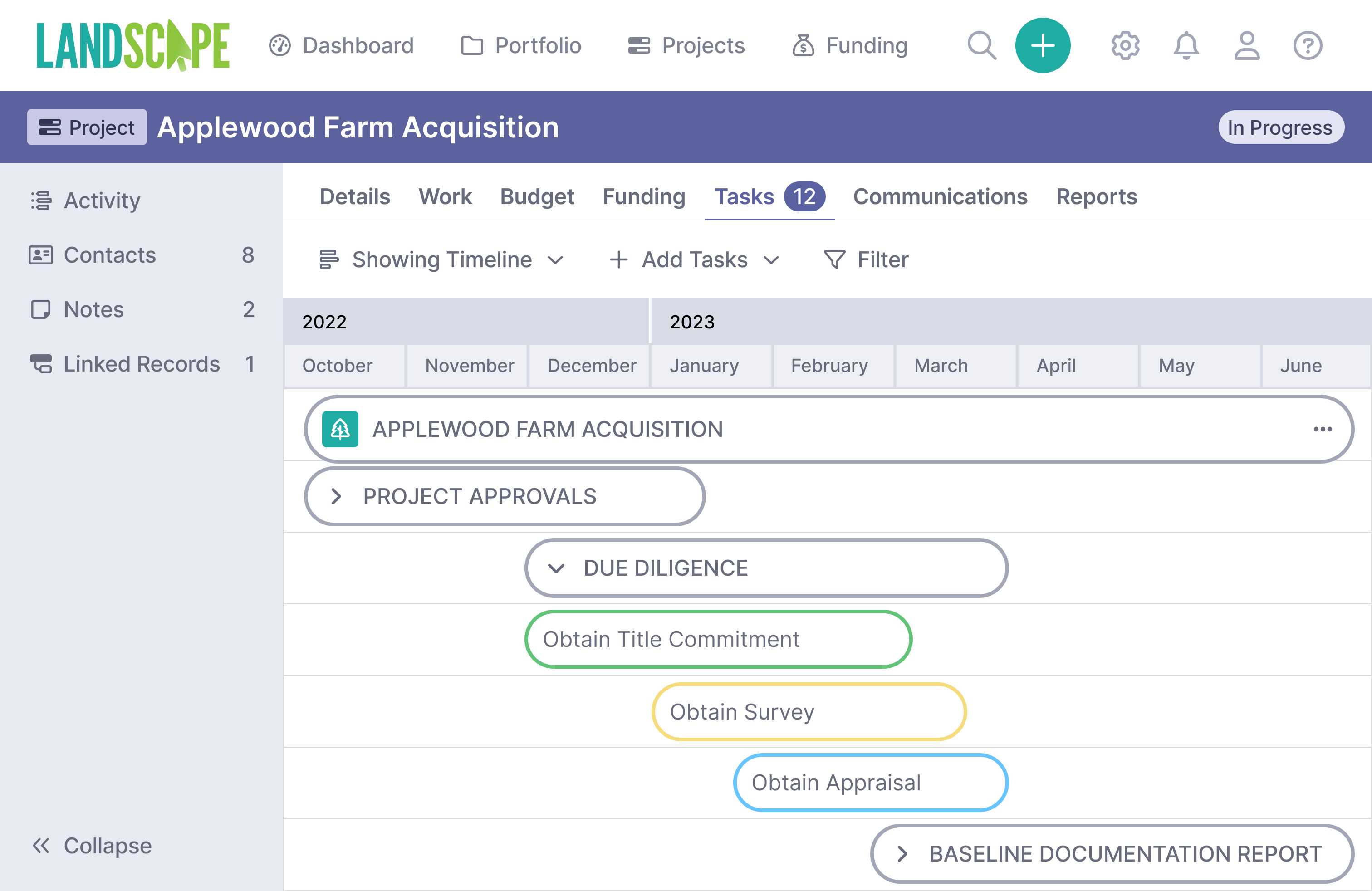
- Customize and replicate task lists to track due diligence on acquisitions, restorations, and stewardship projects
- Keep tabs on budgets, funding sources, and expenses
- Assign tasks to different users
- Visualize project tasks as a list or on a timeline
- Receive notifications and email alerts about upcoming deadlines


Organized record keeping
- Organize your full portfolio of planned acquisitions, current holdings, and partner properties.
- Document due diligence work including appraisals, title work, recorded documents, approvals, surveys, and more.
- Manage stewardship work like site visits, structures, trails, natural features, species, and more.
- Track the process of compliance by resolving issues and approving reserved rights.
- Add communications, documents, time tracking, expenses, funding disbursals, notes, and custom forms to your work.
Mapping designed for conservation
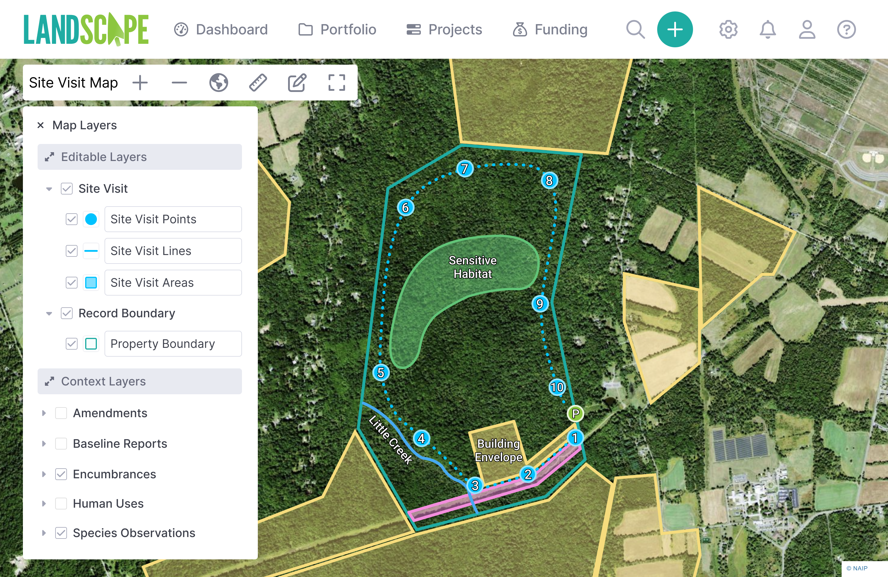
- Easily import shapefiles, geotagged photos, .kml or .gpx files
- Export shapefiles or .kml files for further processing with GIS software
- Add publicly hosted map layers like county parcel data, wetland layers, or rare species habitats
- Run geospatial queries like "how many properties in this watershed?"
- Add custom basemaps from third party sources, like current satellite imagery
- Edit and publish an interactive map of your properties on your website

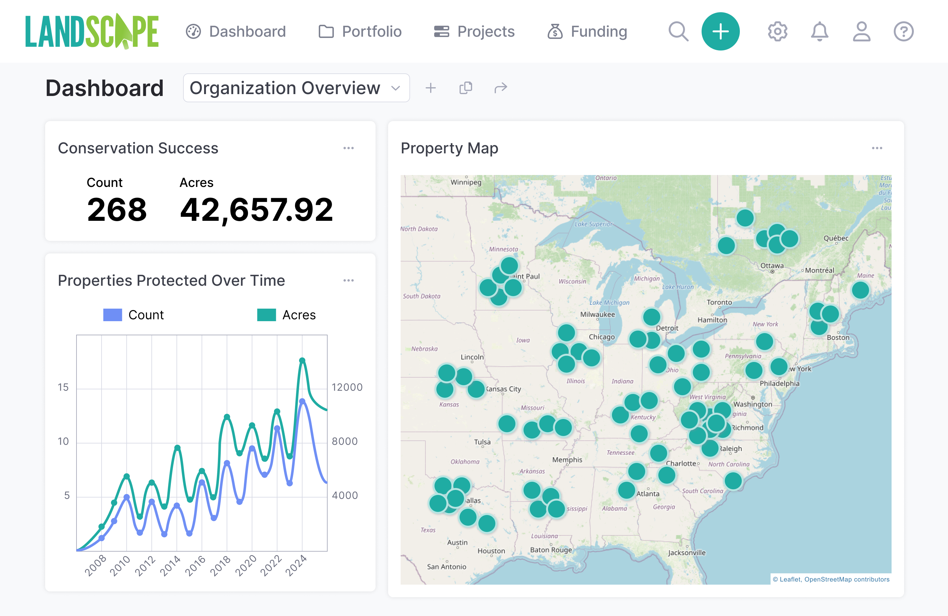
Robust data tabulation and reporting
- Look up property and contact records quickly with the search bar
- Query, group, sort, count, and summarize your data within your browser
- Create dashboard layouts with spreadsheet, chart, and map widgets
- Generate PDF reports from templates
- Create reports in batches for multiple records
- Send reports to other staff members for review, add comments, and approve changes
- Save "One-Click Reports" to generate documents even more efficiently
- Special Land Trust Accreditation report creation tool generates the attachments you need for your accreditation application
Document archiving and contact management
- Find the document you need when you need it with intuitive document storage
- Upload documents directly to Landscape or integrate with popular cloud storage solutions like Google Drive™, Sharepoint™, and DropBox™
- Use Landscape’s contact management system alone or integrate with popular CRM tools Little Green Light™ or Salesforce™
- 100GB of storage (and more available if you need it)
- Feel comfortable knowing your information is backed-up, password protected, and encrypted
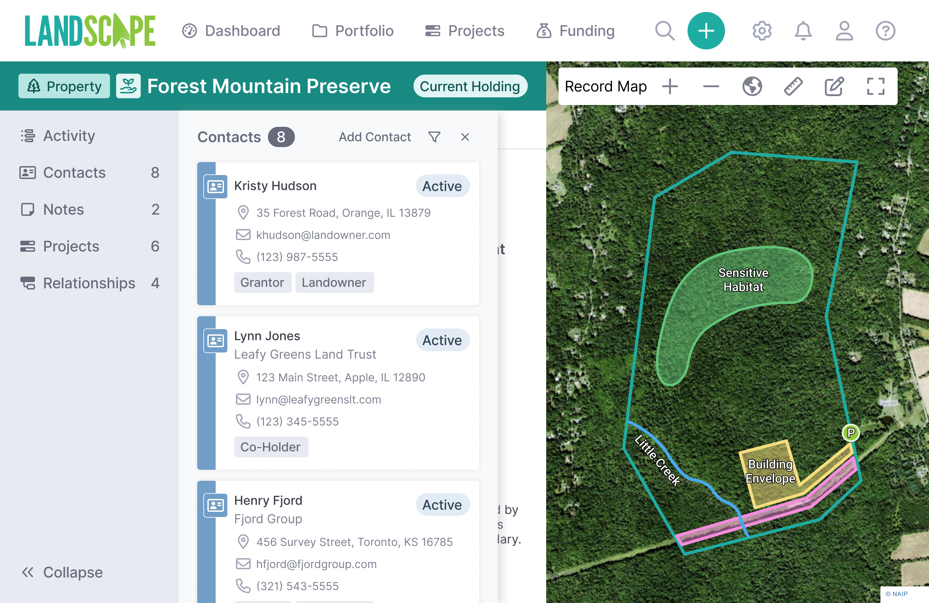


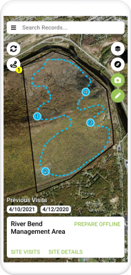
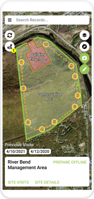
Mobile site visits with custom forms
- Collect data completely offline with your iOS or Android device
- Navigate your properties, take photos, draw spatial data, and fill out forms
- View easements, baseline documentation reports, and past monitoring reports in the field
- Visualize past photos, issues, monitoring tracks, and more on a map
- Automate the creation of monitoring reports and baseline report photo sheets -- create reports from templates in a few clicks
- Use the Landscape Portal to give volunteers access to only the data they need to complete monitoring visits and reports

Schedule a demo
Sign up for a demo to see features like project management, data collection, reporting, funding tracking, monitoring, mapping, and more…