Landscape Mobile is fantastic at giving you access to past site visit information, mapped issues, and allowing you to plan your monitoring visits accordingly. By taking the time to add a few additional data points Landscape, you can increase the efficiency of your visits and add to the functionality of the app.
- Capture critical information (like where to park!) in the ‘Stewardship Site’ layers:
Stewardship site points, lines, and areas (editable from the stewardship site details page) can be used to capture map information related to the management of the stewardship site, like where to park, high priority boundaries near abutting development, and sensitive ecological zones. Monitors can then use this information to plan their visits. The layer can then be seen from the app by activating the ‘Stewardship Site-Specific’ layer
For example, a parking point can be added to the ‘Stewardship Site Points’ layer in individual stewardship sites:
- Note the locations of survey monuments, especially near potential encroachment, in the ‘Property Specific’ layer.
While Landscape Mobile is great for navigational aid, it should never be used for making a ‘close call’ on a boundary encroachment. In other words, if you find a probable encroachment but are staring at the app trying to figure out which side of the boundary line the pile of trash is on, it’s time to turn to the property survey for more information, as digitized map data (yes, even COGO’d lines) is too unreliable. Survey monumentation (iron pins, concrete bounds, etc.) can be a way to prove that encroachment exists when the extent of an encroachment is unknown. Give your monitors a leg up by showing them where these recorded monuments should be on the ground. Also remember you can upload your property survey to assets and make it available to the mobile app.
Survey monumentation can be placed in the ‘Property-Specific’ Layer, as they are a part of the recorded interest. This layer is editable from the Property details page. You can even upload photos of the monumentation to the points and/or copy the points from previous site visit layers: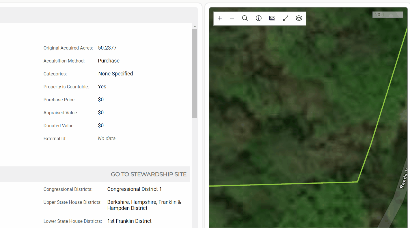
Alternatively, you could capture monumentation as a stewardship site ‘use’. Do this if you want to track follow up work on monumentation, such as re-blazing trees or adding additional boundary signage. This article on tracking trails in Landscape goes into detail about what you can capture with a use. - Take advantage of the stewardship site form library
Once a form template is loaded into the stewardship site form library, you can customize the form to that site by adding site-specific questions. In other words, you can tailor the monitoring form to the needs of the specific site. Every time someone loads the annual monitoring form in the future, they will be reminded to ask those special questions: